The tracker (top map) shows where the Space Station is right now and its path 90 minutes ago (-1.5 hr) and 90 minutes ahead (+1.5 hr). The dark overlay indicates where it is night time in the world. The map of Earth below the tracker shows where the Space Station is flying directly above.
This useful not only for spotting it in the sky but also for amateur radio operators (and schools) wishing to talk to the astronauts.
See https://spotthestation.nasa.gov/tracking_map.cfm
#technology #space
#^Spot The Station
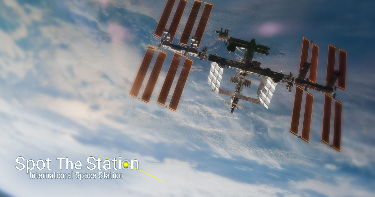
See the International Space Station! As the third brightest object in the sky the space station is easy to see if you know when to look up.