
For the last few decades, Historic England and its affiliates have been studying aerial photographs—and, in recent years, imagery from Lidar, Google Earth, and other digital sources, too—in order to catalogue historical sites across England. Now, they’ve compiled all that data into a single dazzling interactive map, free for anyone to explore online.
As Smithsonian reports, this Aerial Archaeological Mapping Explorer contains thousands of sites and covers an impressively broad swath of history, from about 6000 years ago right up through the Cold War. If little-known prehistoric hill forts are your thing, you’re in luck. There are some of those, as well as Iron Age farms, Bronze Age burial mounds, Industrial Age coal-mining sites, and much more.
#technology #mapping #england #history #Archaeology
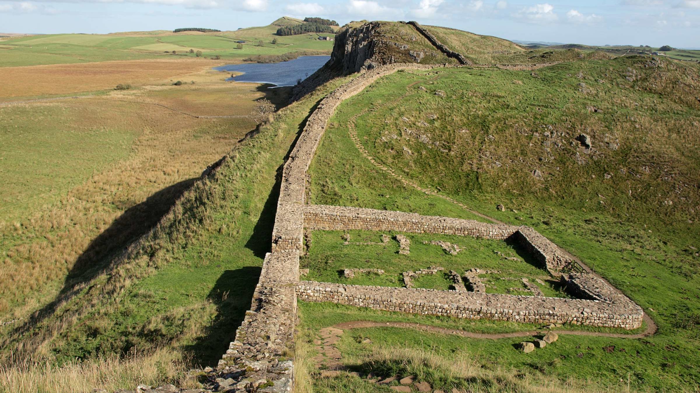
Stonehenge is there, of course. So are Iron Age farms, Bronze Age burial mounds, Industrial Age coal mines, and more.