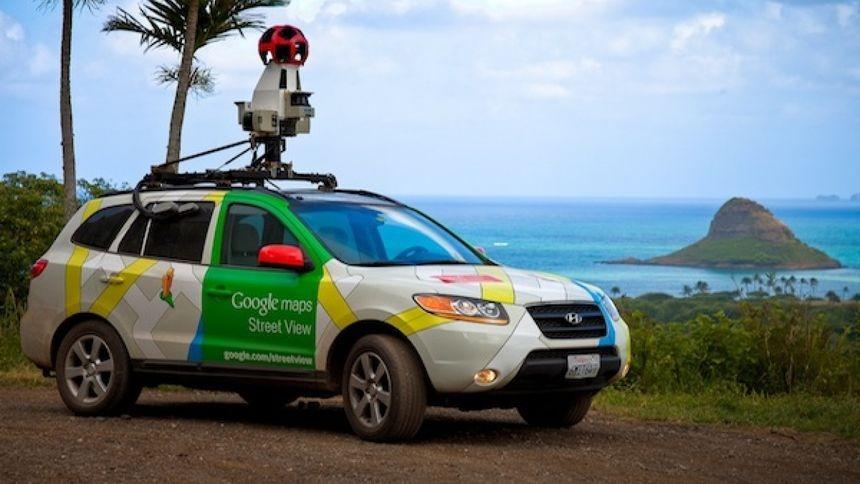
Google Maps will avoid directing motorists through crime hotspots, Pretoria FM reports.
This comes after tourism minister Patricia de Lille and Google country director Alistair Mokoena signed a memorandum of understanding at Parliament on Monday.
Just this last week, a US tourist (thankfully without his family) was directed off the N2 freeway to avoid traffic congestion. The problem is he was directed into an area that is notorious for muggings and attacks. He was shot in the face (without any prior warning) and thankfully he is alive and well. But only a month or two ago, a UK doctor also took a wrong turn off the same freeway and was killed. Locals obviously avoid these off ramps if they can.
It should be noted that this recent case was with an iPhone and there is NO mention of what navigation app was actually used. Google has been the first to respond to take action, and I’ve raised this with Waze last week (still no reply). There is a fair chance it was actually Apple Maps being used, but we don’t know right now.
This stretch of N2 freeway is especially dangerous and a Provincial Traffic patrol, and also a temporary police station, was set up there years ago (not sure if it is still there). Generally, during daylight hours the stretch from the airport to the city is fairly safe, as long as you don’t take any of the turn-offs between the airport and the Jan Smuts Drive turn off. I’d really expect too that any car rental company, at the airport, would thoroughly brief any foreigners before letting them drive off.
So, although we’ve seen warnings for isolated crime hot spots before, they have not actually been routed around crime hot spots properly.

