
Organic Maps is a free Android & iOS offline maps app for travellers, tourists, hikers, drivers, and cyclists based on OpenStreetMap data created by the community. It is a privacy-focused, open-source fork of Maps.me app (previously known as MapsWithMe), maintained by the same people who created MapsWithMe in 2011.
Features:
- Detailed offline maps with places that don’t exist on other maps, thanks to OpenStreetMap
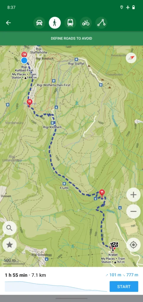
- Cycling routes, hiking trails, and walking paths
- Contour lines, elevation profiles, peaks, and slopes
- Turn-by-turn walking, cycling, and car navigation with voice guidance and Android Auto
- Fast offline search on the map
- Export/import bookmarks in KML/KMZ, import GPX
- Dark Mode to protect your eyes
- Countries and regions don’t take a lot of space
- Free and open-source
Why Organic?
- Respects your privacy (requires no Google login nor registration)
- Saves your battery
- No unexpected mobile data charges
- No ads
- No tracking
- No data collection
- No phoning home
- No annoying registration
- No mandatory tutorials
- No noisy email spam
- No push notifications
- No crapware
It is based on OpenStreetMaps, so I could see a little known trail in the middle of the Cederberg mountains in South Africa. The great thing though with OpenStreetMaps is, if something dos nor exist, you can just add it yourself.
It installs on iOS and Android phones (including from F-Droid and Obtanium), but I was also p[leased to see a Flatpak install for Linux desktops as well.