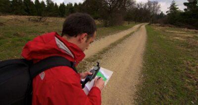
The volunteers mapping South Africa’s power grid using OpenStreetMaps

Slater explained in a virtual interview with TechCentral how maps have been created of just about everything that can be mapped. Even Eskom’s national electricity grid and those of other utilities around the world have […]
